
How to add spice to a paddle? How about having an objective other than just the paddle and scenery? Today, Dean, Neville and I set out in search of Snowball Earth. Or, at least the evidence for it.
Geologists believe there have been three major glaciations prior to the dawn of multi-cellular life on Earth. The last major glaciation occurred during the Ediacaran perod and is know as the Gaskiers Glaciation that occurred 580-582 million years ago. Some believe the entire Earth was a frozen ball during this time. Some believe it was the catalyst for the emergence of multi-cellular life, the fossils of which are exposed in the rocks of Mistaken Point dating around 565 million years ago.
I was guided by the excellent book by Martha Hickman Hild entitled "Geology of Newfoundland".
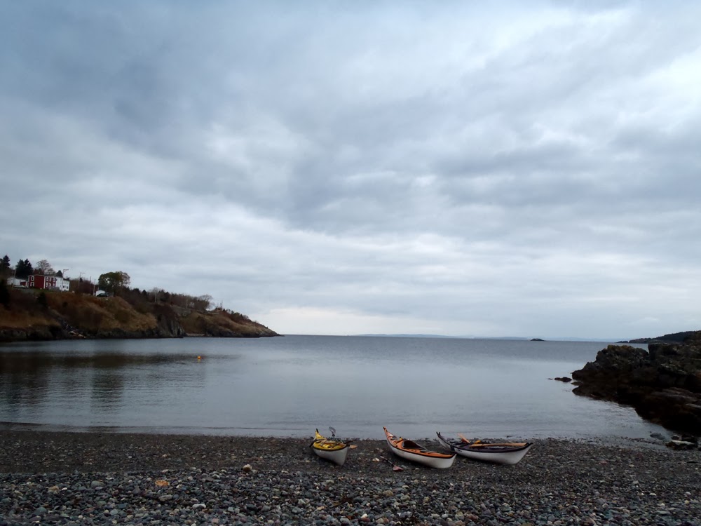
We met at Indian Pond an paddled out into Conception Bay under the Trailway bridge ...

... and paddled south past the hydrothermal generating plant where we were going to do a short crossing to Chapel Cove.

We paddled past Chapel Cove and entered Red Rock Cove where red Cambrian slates are faulted against Harbour Main volcanics and Conception Group sedimentary rocks.

There was no wind or waves. We poked into every nook to explore.

Dean checks out a route through kelp covered rocks in Harbour Main.
We stopped for lunch on a little beach near the church in Harbour Main. After we had our lunch we went looking for the evidence of Snowball Earth in the rocks. The Gaskiers Formation contains rocks that were formed from debris flows of sediments that were of glacial origin and we were on top of them.

At Moores Head the rocks are exposed. Martha Hickman Hild's excellent book "Geology of Newfoundland" supplied all the information I needed to find the outcrop. Prior to leaving home I entered the GPS coordinates supplied in the book enabling us to walk right to the outcrop. Scattered cobbles could be seen in the cliff.

The rocks on top of the outcrop are heavily weathered but the same rounded cobbles are inbedded in the finer grained matrix.
Yes they are just rocks but knowing something about their history adds substance to their legacy. Imagine, we were walking on rocks some 580 million years old, laid down when all or most of the Earth was in the grips of a global ice age. Mind boggling, at least for me.

Satisfied we were in the right spot we explored further looking for a distinctive layer of rock known as a "cap carbonate". The rocks are indicative of the end of glaciation when elevated levels of carbon dioxide in the atmosphere rained out as carbonic acid, leached out large quantities of calcium into the oceans which in turn precipitated out as carbonate sedimentary rocks.

After our geological explorations we got back in the kayaks and paddled up to Salmon Cove Point. Along the way sea urchins clung to the rocks, as well as a small starfish.

We probed this cave. Neville and Dean were in the entrance as I made my way back out. I could see light at the far end of the cave but it proved to be impassable and therefore, a dead end.

The draw at Salmon Cove Point is this cleft in the rocks. We paddled back and forth through the cleft waiting to catch the larger swells that rolled through.

Half a dozen trips through, we turned for a return to the take-out under Butterpot Mountain in the distance.
It was a large day. For me it was more than a paddle along a shore. It was about a reference point relative to how I fit into the grand scheme of things and the long, long, long evolutionary road that led to today.


No comments:
Post a Comment