Translate

Tuesday, August 23, 2016

Gettin' the lead out, for real


I titled the post of my paddle from Fairhaven to La Manche as "Gettin' the lead out".  That was a reference to the lack of paddling I was doing.  This is about really getting the lead out as in mining it.  The object of my destination at La Manche was to visit the site of an old lead mine I had visited over thirty years ago.  When I got to La Manche I went for a hike to the site a short distance away.  A sign warned of danger as I broke out into the ...


... clearing.  The area of the La Manche mine looked a bit like a moonscape.  I turned left where I broke out of the trail and followed it for a while until the workings petered out.

It was known to local fishermen who used the lead to make "cod jiggers".  The mineral itself is galena, a lead sulphide with the formula PbS (lead + sulphur) and is hosted in a vein of calcite running northeasterly in a well defined valley.


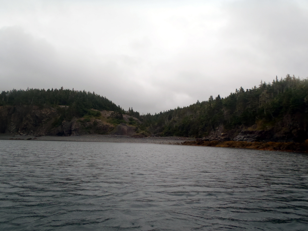
There wasn't much to see so I turned and walked towards the sea.


On the beach at the shoreline I discovered what remained of a dock.  Mining began in 1857 and continued on under different control until 1868 for a total of 2,375 tons of galena lead ore extracted.  Ore mined to 1893 is given at 18,762 tons.

The mine changed hands a number of times with several subsequent attempts to re-open it.  In 1924 the La Manche Mining Syndicate sank a shaft but was flooded in 1927 so the mine closed again.


There was a warning sign above this gaping hole.  I carefully peered down over the edge.

The mine site was examined by a number of parties, no less than the Buchans Mining Company themselves who were operating a big mine in Buchans mining combination of zinc, lead, copper, gold, and silver.  They dewatered the flooded shaft in 1946 and renewed underground work until 1948 but production was nil.


Looking up the cleft from the beach.  A fall into this would prove injurious.

The calcite-galena vein is of epithermal (think geyser like Old Faithful) origin and contains other minor minerals such as sphalerite, chalcopyrite, pyrite, barite and quartz.

F. W. Foote of Dana & Company reported the vein varies in width between a few inches to five feet with lead content from 1.73% to 11.65%.  He also reported proven and possible remaining ore of 61,000 tons.

So, there is still enough ore to make a few cod jiggers, just not enough to be mined economically.

I had about 30 minutes walking around but I know there's more to see given more time.  It was something different for sure.  Maybe a return trip with a few of my paddle buddies?

Here's a Google Earth shot of the site, the scar clearly visible bottom center:


Sunday, August 21, 2016

Living la vida loca in La Manche


I arrived in La Manche after leaving from Fairhaven with rain falling.  The first order of business was to get the tent up.  I had never put a tent up in the rain before because in all my trips its never rained coming into camp.  My luck had to run out eventually.  Luckily I worked out a plan as I paddled into La Manche.

The plan was to put the tarp up first and then erect the tent under the tarp keeping it dry.  It worked like a charm and I was pleased with my "boy scout" skills which I improvised on the fly.


Eventually the rain lessened but still pecking I carried all the gear I needed up from the beach.  Once I had that done I was feeling pretty hungry so I got supper on.  Under the branches it was dry enough not to need rain gear.


The branches provided the perfect spots to hang the pots to dry!  The tent was tucked as close to the tree as possible almost hugging it.


I boiled some water to drip some coffee and has this view from ...


... my perch on the edge of the ocean.  It was a pinch me moment.


There wasn't a stick of wood on the beach to have a fire.  That was a first.  But the rain stopped so I decided to go on walk-about.  This place was frequented by the local party crowd who left their whatever this was supposed to be.  This was the view of the resettled community looking northeast.

The census of 1921 lists 11 people living here in four households consisting of 2 families of Flynns and Hynes.  The Flynns came from Presque and the Hynes from St. Kyrans on the other side of Placentia Bay.


This was the view looking southeast.  It looked a huge open area for four families.  It was but after it was settled in 1836 the population grew to 142 by 1874 making sense of what I was seeing.

After the population peak in 1874 it gradually dwindled to the low level of 1921 and in 1935 there were 23 persons living there in four households.  The families of Hynes were gone and families of Parsons and Benoites had moved in.


I followed the ATV trail out of the former community and looked back towards where I had pitched my tent.  There was lots of level ground but also lots of hilly slopes not suitable for tents.

The census of 1945 lists 27 individuals in 6 families with surnames Benoite, Flynn and Parsons.


I'm not an arborist but I could tell these trees were not native.  Someone brought them here.  Whoever they were they were not here to greet me; everyone having moved away an abandoning the community by 1966.  One of hundreds so left behind in Newfoundland.


I left the location of the former community behind to explore the ATV trails which made for excellent hiking.  It would be a worthwhile destination for a two night stay and enjoy hiking in the area.


My hike finished I returned to my perch to relax and enjoy the view looking out over the water.

I was alone but not one bit lonely.  It was a feeling difficult to describe; just a deep feeling of inner peace and tranquility.  I didn't even have a drink of alcohol with me - I didn't need it.  It will be one night I will long remember.

Saturday, August 20, 2016

Gettin' the lead out


I haven't been doing much paddling as I've been burdened with a major home project.  However, last week I realized I was missing too much of the good stuff so I paid someone.  But, I had been busy with related work for several weeks, I figured I deserved a reward.

I checked the forecast which looked promising for Friday and Saturday.  I looked at the maps and picked a spot I've thought about visiting.  It was LaManche, the site of a resettled community and the nearby abandoned lead ore mine.  I had hiked into the site on a geology field trip over 30 years ago with my class.  This time I was going alone.

On a bright sunny morning I drove the 100 kms to Fairhaven where I put in.  The anticipation of a second solo kayak camp trip was tangible.


I could hardly contain myself with the feeling of freedom, and independence, as I paddled my way out of Fairhaven and reached ...


... Fairhaven Point, Fairhaven Island and the view north along the coast.


At Tickle Point I saw my first eagle.  It took to flight trying possibly to lead me away from a nest.  Little did it know I was going in that direction anyway.  Further all along the coast I saw more eagles than you can shake a stick at ;) ;).  They are such majestic birds!

The sun and cloud was giving way to overcast skies.


An hour later I approached Shag Roost, a cluster of little islands.


As I paddled north I was paddling into the gaping jaws of Great Pinchgut but first I decided to go into its nearby small cousin, Little Pinchgut *lol*.  I wanted to have a look to determine its suitability for camping, which it is.


I'm not a botanist though I can identify many flowers but I'm not sure on this one.  I think its a petunia but ??? as its growing in the wild.  I couldn't pass up a shot of attraction in all the grass around it.


I entered Great Pinchgut, a wide open expanse of water three kms wide across its mouth.  I didn't do a crossing and paddled past Hollis Cove and Murphy Cove before deciding to stop in this cove as it was lunch time.  Another Paddle Newfoundland and Labrador trip report names this Mine Cove but its not shown on the topo.  Nevertheless, today it was mine to ...


... to climb up on high for a fine perch to enjoy the view while eating.


The paddle along the shoreline of Great Pinchgut was 5 kms.  A crossing would have been 3 but no lunch.  Back in the boat I passed Pinchgut Point to look into Pumbly Cove and the shoreline towards LaManche.


The day that started out sunny with clouds went gradually south to overcast and as I passed Brennan Point leaving Pumbly Cove it started to peck rain.  Before long it became a downpour and began to blow a bit.  I intended to paddle into Little Harbour East but could barely see the community of Little Harbour East in the rain so I decided to bypass it.

At this point I might have been justified to say "drats" but that's not me.  From here on I was making lemonade.


Past Little Harbour East I spotted a beach near Salls Island.  I had to answer the call of nature and though it might be an idea to catch a break before finishing the final 6 kms into LaManche which would be into the wind.


In La Manche Bay I met and chatted with a local fisherman looking for mackerel.  He said he saw me working to get across the mouth of Little Harbour.  I said it wasn't so bad.  Of course the conversation then turned to, in his eyes, my unconventional vessel.  I tried to sell him on its finer points (it is a Nordkapp!!!) but I don't expect he'll be buying.  It was nice to talk to him and after 5 minutes or so I shoved off to complete my paddle into La Manche, here just going by the shoreline expression of the old mine next to the resettled community.

The rain eased up a bit.  It would all turn out A OK.


Here are the breadcrumbs.  A good day's paddle of 30 kms.

Supper was going to taste very good but first I had to get a tarp and the tent up.

Thursday, August 18, 2016

On the rocks

 
Last evening the group split into two.


One group of four went for a paddle down the coast.


Our group of five played around the rocks.


Dean and Shane were in the Karma RGs by Jackson and Neville was in his P&H Hammer.  Clyde was in his plastic Nordkapp.  I was rolling the dice in my fibreglass Nordkapp.

Here goes Shane throwing himself in undaunted by the lack of water.  What's impressive is he's only been paddling just over a year.


The guys in the short boats really got in and among the rocks.


Clyde too got into the rocks but was limited somewhat by the manoeuvreability of the longer boat.  But, he didn't need to be as careful as myself.


I needed places where I could get a straight run through the rock gardens.  Even so at one point I caught a large wave that deposited me on top of the rocks.  A cushion of water meant I didn't do any serious damage (just some new scratches) but I did have quite a job to extricate myself, with a little help from Shane.


It was a fun evening.  Maybe next time I'll bring my creeker?  Not ideal but a better option than a long fibreglass kayak.

Thursday, August 11, 2016

At what cost?


This will be a different type of kayak post.


My local kayak friends know that I am mired in a massive project, as did anyone who read an earlier post of mine to say my paddling would not be as consistent for a while.


I built my own home some 30 years ago.  Well, 95% of it anyway.  That included shingling the roof.


I've been lucky stretching the life of the roof but this year the roof has to be re-shingled.


My plan was to do the job again myself.  105 bundles, yikes!


After two days I've realized I'm not as young as I was when I did it the first time.  I'm also much more nervous up on the roof at 5 meters above the ground.


After two weeks of prep work I was feeling the effort.  I was also feeling the pressure of getting the roof done without letting rain water into the house.  Say nothing of the loss of sleep due to worry.


Two days into stripping the old shingles and putting down a protective underlay I realized it was beyond me.  It was going to take much more time than I anticipated and at the end I'd be nothing but skin and bone so ...


... I made the decision to pay someone else to do the job.  Once I made that decision the stress just melted away.

Like I said, I've been mired in this project for three weeks.  I've missed a a four day kayak camp trip and I've missed paddling on weekends.  At the end of each day I've been too tired to pick up my guitar.  Both of these things that give me such pleasure were suffering.

They say time is money.  We are all given a bank of time, no more time will be dispensed.  Money is relative and there are no pockets in that final suit - you can't take it with you.  May as well use some of it to buy time to do the things I enjoy.

A special thanks to friend Cathy for validation of that decision.

Thursday, August 4, 2016

Noah's Ark - FOUND!!!


All speculation of Noah's Ark finding its resting place on Mount Ararat is unfounded.  It has been found and it is in Conception Bay.

Another Wednesday evening saw six of us show up at St. Philips.  We started by riding the surge over the rocks at the south end of the cove while waiting for others to arrive.


At 6:00 and no one on the beach to put in we headed for Portugal Cove along a shoreline awash with foam.


At the G-Spot the larger swells were really piling over the rocks so timing was essential to avoid being caught and swept up onto the rocks.


On our way back from Portugal Cove we made the discovery of the century.  It had to be Noah's Ark with its boards sealed with pitch.


We went close to investigate to see if Noah and his animals were still aboard but they had apparently already disembarked to leave the Ark floating in the small cove.  It had already suffered considerable damage being slammed into the cliff by the swell.


The only items I saw worth salvaging on the Ark were some solar panels ;).  After some time marveling at the unusual construction we ...


... left the Ark to its destiny and made our way back to St. Philips under the golden glow of the setting sun.


And, so ended an eventual Wednesday evening; never a dull moment!