Translate

Tuesday, August 7, 2018

I've looked at stacks from both sides now


On Saturday Cathy, Gary and I put in at Point LaHaye to paddle the shore of St. Mary's Bay down to St. Vincent's.  We made it into the Gut and pitched our tents just off of the beach but out of sight of houses in the community.


Sunday morning it was time to head back to Point LaHaye and check out the sea stacks from the other side.  It was the same coast but any coast looks different from either direction.  We'd find out we missed a few features paddling south on the previous day.


We got out through surging waves at the mouth of the Gut safely and were pushed by an easterly breeze towards Cape English where ...


... massive slabs of steeply dipping rock dominated the headland.


Around the Cape we were back into the rocks and sea stacks.  Whereas Saturday we had a little swell, Sunday there was none and we were out of the easterly breeze.


On the paddle south this cave wasn't obvious or ...


... this one that had to be explored.


Fourteen kilometers from St. Vincent's we stopped again on this beach to stretch our legs 8 kms from the end of the paddle.


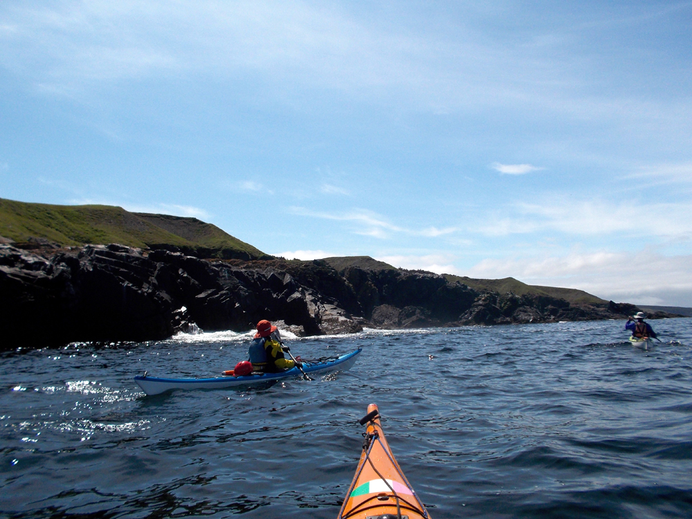
There are fewer sea stacks along the last 8 kms but still lots of rocks ...


... and passages to paddle through.


Exiting the last passage we made a straight beeline for the beach at Point LaHaye and the end of our two day adventure.

We three agreed it was the most scenic stretch of coast we've paddled.  Its not around the corner as its an hour and a half drive from home and its open exposure makes it dependent on the right winds and swell so it doesn't get much kayak traffic.  Any planning should carefully consider the weather forecast and an assessment of skill in case of a change in the weather while on the water before taking on this paddle.

Gary suggested the next time we do this we should paddle from St. Vincent's and camp at Point LaHaye.

A good helping of fish & chips topped off the weekend with a whole bunch of new memories formed with good friends.

Sunday, August 5, 2018

Stacks, stacks, stacks


About 10 years ago paddler friend Neil did a paddle along the shore from Point LaHaye to St. Vincent's in St. Mary's Bay.  He raved about the sea stacks.  Somehow I didn't get around to doing that paddle until this weekend.

All week long from Monday the wind forecast looked good.  Thursday I sent out mail to see who was interested and only Cathy and Gary committed so Saturday the three of us drove to Point LaHaye, unloaded the kayaks, did a 20 km car shuttle to St. Vincent's and put in at Point LaHaye.


It was a picture perfect day as we set out southerly along the shore past Gaskiers.


It was good paddling but it took 50 minutes to reach our first sea stack.


It wasn't all about sea stacks (though there were too many to count); there were also worn down to rocks sea stacks.  A gentle swell made everything accessible but interesting.


Here a tipped stack of Neoproterozoic (1,000 - 941 million years ago) siltstone, sandstone and shale turbidites look like a disturbed stack of playing cards.


A waterfall we ...


... just had to check out.  Each of us grabbed a cooling, refreshing shower.


Prior to hitting the road I had checked out Google Earth.  A scattering of sea stacks and rocks showed up to False Cape but after that it was sea stack heaven.  Again, the gentle swell made things interesting as the water got squeezed in ...


... narrow passage ways and swept around the sea stacks.


Here we were greeted by one massive stack.  For some stacks it wasn't clear if they were separated from the land so each one had to be prospected to verify whether we could get round.  It made for the most enjoyable leisurely paddling.  And, yes, this allowed us through.


Sometimes I led with Cathy and Gary following who I caught on this selfie.


We just couldn't get enough of this stuff as we made our way along the southwest shoreline leading to Cape English.


So, here's another!


And, one more.  There were so many the post could have been pix of nothing but sea stacks but I selected a representative sample.


Almost 4 hours after leaving Point LaHaye we left the stacks and rocks behind and rounded Cape English heading to the beach and entrance to Holyrood Pond at St. Vincent's.  The water flowing out of the pond created standing and spilling waves, the sounds of which made the mind wonder when we'd be overtaken from behind.  All three of us made it into the pond without incident and a good thing too because a bunch of locals watched to see how we would fare in the challenging conditions.


We selected a campsite, pitched our tents, made supper (the first meal since breakfast) and watched as the sun began to set overlooking Holyrood Bay and the entrance to the pond.


St. Vincent's is fully exposed to the Atlantic south with no landfall until the West Indies in the Caribbean.  I didn't expect to find much wood but we made a find effort to collect enough small sticks to have a decent fire during happy hour.

We hit the hay under a clear starry night overjoyed with the day's paddle and looking forward to the return paddle on the next day.  A totally awesome day; many thanks to Cathy and Gary.

Day 2, the return to Point LaHaye here.