3 days ago
Showing posts with label Ireland's Eye trip. Show all posts
Sunday, August 18, 2013
End of the road at Trinity
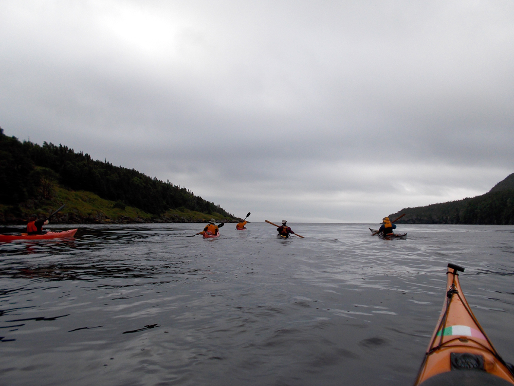
On day four of our trip we left Kerleys Harbour under cloudy skies and paddled around Bonaventure Head in fog. As we got closer to our destination of Trinity the sun came out. Here the gang pass in front of Green Island very near Trinity.
Hazen paddles between Salvage Head and some offshore rocks where the swell was breaking.
A majestic looking sea stack just outside of the entrance to Trinity.
Julie nears Fort Point with the lighthouse at the entrance to Trinity harbour.
The community of Trinity stretches along the shore. I am drawn from a distance to this church to have a look before running my kayak up on ...
... the beach to end the trip. The rest of the gang follow me in. The end of four days and, for me, 82 kms.
The cars were parked nearby where they were left after the car shuttle four days earlier. It didn't take us long to unload the kayaks and put in our customary order of ...
... fish and chips to celebrate the end of another excellent adventure. Clockwise, from left is moi, Dean, Ron, Barb, Julie and Hazen. Thanks to all for a memorable trip.
Here are the breadcrumbs for the entire trip. Burgoynes Cove to First Pond; First Pond to Thoroughfare via Ireland's Eye; Thououghfare to Kerleys Harbour and the last day, on to Trinity.
Saturday, August 17, 2013
Headland to headland
It rained hard the last night in Kerleys Harbour. I saw how much when I got up and noticed there were 50 mm of water in the pot I left out in the rain. Water was running everywhere. What was a trickle when we landed the day before was now a torrent of water. Blue bells hang on for dear life.
We survived the night. Both the rain and the bears. I noticed two areas where the tall grass had been beaten down. Something had bedded down very near our tents and having seen fresh bear scat the day before, the bets were on it was a black bear.
Boats loaded, we paddled out of Kerleys Harbour bound for Trinity and the end of our four day trip.
Exiting Kerleys Harbour we made a bee line for Maiden Point in the distance under low hanging clouds ...
... but behind us the sky was blue with brilliant sunshine.
We reached Maiden Point. Ahead the path was still overcast. The sun tried to break through.
Paddling headland to headland Bonaventure Head came into view out of the fog. There seemed to be some urgency to get around the headland.
On the other side of Bonaventure Head it looked like the sun was winning the battle against fog and ominous clouds.
Once around the big headland I thought we would paddle closer to shore but it was not to be.
We paddled inexorably towards Trinity, somewhere down the vanishing shoreline and the end of our four day trip.
Friday, August 16, 2013
Clubbing in Kerleys Harbour
We got into Kerleys Harbour at 1:00. That was a good thing because the forecast was for strong winds and heavy rain. We were anxious to get camp set up before the rain arrived.
A good part of the day was still ahead of us so Barb, Dean, Hazen, Julie and I went on walk-about and did some exploring. Though the community was abandoned in 1963, someone was keeping the trail around the harbour open.
Hazen and Dean walk past the fallen and rotting remains of a deserted building.
There's not a lot of flat and arable land in most coves. As room for new dwellings ran out its likely people moved into the next suitable cove. Sometime before 1845 people settled here as the census for Kerleys Harbour shows a population of 40 in 1845.
Here lies the remains of the community church. Most of the houses were floated out to their new destinations during resettlement but churches and schools were left behind. It didn't look like a large structure as was St. Georges in Ireland's Eye for example. It only had to serve a maximum population of 90, reached in 1935.
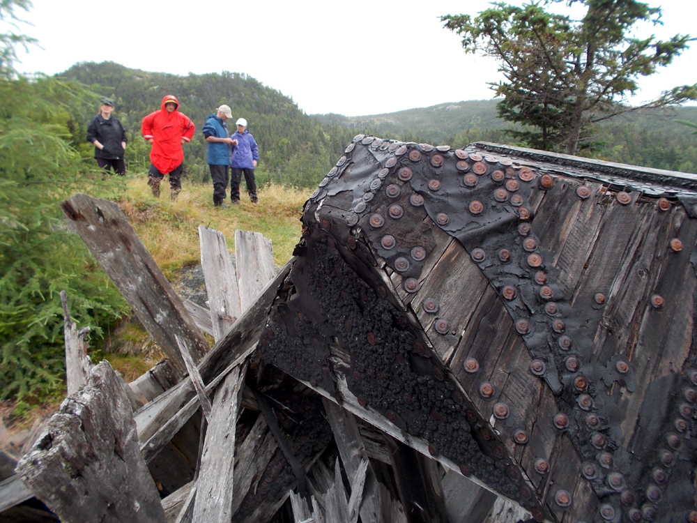
The roof of the church was made watertight with felt rather than shingles. The odd shape of the steeple looks like it required more nails than felt. I wonder whose handy work this was? Possibly a Mr. Miller, Ivany, or Clarke. They were the predominant names in the community in 1921.
We came to a sign pointing to a trail that led to British Harbour.
I miscalculated the distance and after walking for 30 minutes we reached the highest point of land between the harbours at 500 feet. British Harbour was still a considerable distance away so we stopped to take in the view.
Kerleys Harbour which can barely be seen is slightly left of center, just above the larger pond in the lower left.
We turned and returned to camp. The rain still held up so Dean and I identified a sheltered spot where we could gather. I set about cutting branches to make room and we had our "club house". Ready and open for business I suggested to Dean we have a cover charge of $8.00 but I'm still waiting to collect.
Inside the club house with Dean, Ron and Hazen.
Julie and Barb. Ladies drinks were half price *lol*
We didn't have a fire but we talked and joked well into the night. It was a most pleasant evening. Closing time came and we were kicked out. Good thing too because a scant five minutes after retiring to the tents it started to pour rain.
Through the rain, chatter could be heard from the closely huddled tents. Hazen thought Julie and Barb were holding a Cabinet meeting, then he complained about breaking a tooth. I shot some video of the inside of my tent with narration. Dean wondered out loud what I was doing.
Eventually, we drifted off to sleep after a large day to the sound of rain on the tent walls.
Thursday, August 15, 2013
Bronco busting into Kerleys Harbour
We departed the abandoned community of Thoroughfare just after 9:00 am on day three of our club paddle in the Ireland's Eye area of Trinity Bay. Our first destination was Popes Harbour which is nestled in a cove under the 500 foot high massif of Indian Lookout left of center, four kilometers hence.
On this day the story wouldn't be the scenery but the conditions we, as a group, dealt with on our paddle into Kerleys Harbour. Apologies for water smudges on some of the shots, I salvaged the least affected.
We arrived in Popes Harbour after the four kilometer crossing. Popes Harbour, abandoned in 1970, now serves as cabin country.
We paddled around and into an offshoot of the harbour called Little Harbour. We were in the protected waters of the harbour for 45 minutes before we decided to carry on up the coast. Surprise, surprise. The wind had come up and conditions went south. For half an hour we paddled in worsening conditions before deciding to stop for a break around West Point at the entrance to British Harbour.
There were lots of jelly fish.
Hazen wanted to see British Harbour but conditions dictated we get to Kerleys Harbour pronto in the interests of group safety. Ireland's Eye Point where we were the day before was off to our right as we crossed the harbour entrance.
I agreed to act as sweep keeping an eye on some of the less experienced in rough waters.
It was only a precautionary move. Everyone handled themselves well along the two and a half kilometers of exposed coast and we safely made it into ...
... Kerleys Harbour around 1:00.
The kayaks were hauled up high onto the bank above the high tide mark and ...
... the tents set up before the arrival of stronger winds and heavy rain.
Day three was about paddling moreso than sightseeing from the seat of a kayak. We were granted two days of brilliant weather already so we had no reason to complain. Crappy weather can be expected on multi-day trips. Its part of the experience.
We were in camp early but we would keep ourselves entertained.
Wednesday, August 14, 2013
On the ground in Ireland's Eye
After our lunch at Black Duck Cove we took a leisurely paddle up the west side of Ireland's Eye, the island, until we reached Ireland's Eye Point at the north end. There we paddled ...
... into a stiffening breeze down the east side until we ...
... reached the entrance to Irelands Eye, the community.
I was so excited to be here I raced ashore and was well up on the hill when the rest of the gang arrived.
These are some of the remains that dot the abandoned community. This particular building housed the post office and was still standing in 1989 as this picture from Memorial University's Maritime History Archives shows.
The post office operated from 1941 to 1965.
I walked on up the hill to ...
... what was left standing of St. George's Anglican Church. There is an "Ireland's Eye" near Dublin, Ireland. The fact the church was Anglican suggests the first settlers in early 1800 were of English extraction and not Irish as the community name implies.
By 1836 the community had 32 occupants, increasing to 123 in 1874 and peaking at 157 in 1911. St. George's was an imposing and massive structure to build for what was essentially a small community. This historical picture again from the archives shows its original grandeur.
This is all that remains of St. George's School. Families of Toops [Toopes], Coopers and Hodders sent their children there to be educated. See the archival picture of the school taken in 1973 here.
The archives have many other pictures of the old community that are worth a detour!
We stayed about 30 minutes before getting back into our kayaks to ...
... set up our tents at Thoroughfare. This is the view I had looking out my front "door".
After setting up our tents we had ...
... "happy hour". Cocktails at half price!
A memorable day drew to an end with a beautiful sunset but not before we ...
... collected firewood for our traditional camp fire.
For me, Ireland's Eye is, in one sense, one of the quintessential example of resettlement of outport communities in Newfoundland (along with Merasheen). It has been on my list of destinations for some time. Now I've been there. I plan to go back and spend a full day there.
The track.
Tuesday, August 13, 2013
On to Thoroughfare
The day dawned bright and sunny at First Pond on the second day of our trip to Ireland's Eye. We cooked breakfast and broke camp with the day's destination the abandoned community of Thoroughfare. Dean and I were in our kayaks first and while we waited for the other four we paddled around First Pond to see if there were other options to camp.
There were none. I don't think the beaver of this lodge would be happy to accommodate us either.
First Pond is connected to the sea by a river that drains into a fjord of about a kilometer. While we had to walk the kayaks up the shallow part of the river on the way up, the way down could be navigated with only minor rubs on the rocks.
The entrance to the fjord with Hickman Island near the mouth.
Five dots on the sea pass by Hickman Island on our short two kilometer crossing to Haydon Point on Random Island.
With landfall made on Random Island we paddled a further short distance past Flat Island and stopped at Thoroughfare, the abandoned community. It was abandoned in 1961 but there was still evidence that a community was established here.
Concrete foundations testify to a prolonged occupation. It was established in the early 1800's and by 1845 a total of 18 souls lived there.
The population peaked in 1921 when 74 people called Thoroughfare home, possibly lured here by work at the E.J. Green Herring Factory. Some of the family surnames listed in the census of 1935 include Toope, Brown, Cooper, Langer, Loder, Mills and Ivany. I'm left to wonder which of these families lived in this now dilapidated house. Maybe it was Moses and Theodosia Brown, the last people out in 1961?
Close by the house I found a small patch of Blue Geraniums. They are not native so someone liked nice things and took pride in their surroundings. I always find it moving to think of the people who lived in Newfoundland's abandoned communities. I wonder what hopes and dreams they had and how hard it must have been to leave them behind, like these geraniums.
We intended to camp at Thoroughfare but didn't set up camp right away. We decided to cross over to the island of Ireland's Eye to circumnavigate it and in doing so, also visit the community of Ireland's Eye. We crossed over first to another abandoned community called Ivanhoe that now consists of cabins visited on weekends or holidays.
Paddling clockwise around Ireland's Eye we entered Black Duck Cove that looked like an ideal place to stop for lunch.
And, you can see it was.
Here are the breadcrumbs for our morning paddle from First Pond to Thoroughfare and Black Duck Cove.
Subscribe to:
Posts (Atom)