
I haven't been doing much paddling as I've been burdened with a major home project. However, last week I realized I was missing too much of the good stuff so I paid someone. But, I had been busy with related work for several weeks, I figured I deserved a reward.
I checked the forecast which looked promising for Friday and Saturday. I looked at the maps and picked a spot I've thought about visiting. It was LaManche, the site of a resettled community and the nearby abandoned lead ore mine. I had hiked into the site on a geology field trip over 30 years ago with my class. This time I was going alone.
On a bright sunny morning I drove the 100 kms to Fairhaven where I put in. The anticipation of a second solo kayak camp trip was tangible.

I could hardly contain myself with the feeling of freedom, and independence, as I paddled my way out of Fairhaven and reached ...

... Fairhaven Point, Fairhaven Island and the view north along the coast.

At Tickle Point I saw my first eagle. It took to flight trying possibly to lead me away from a nest. Little did it know I was going in that direction anyway. Further all along the coast I saw more eagles than you can shake a stick at ;) ;). They are such majestic birds!
The sun and cloud was giving way to overcast skies.

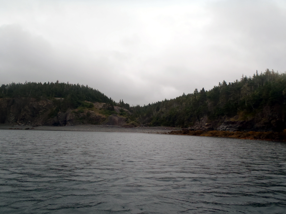
An hour later I approached Shag Roost, a cluster of little islands.

As I paddled north I was paddling into the gaping jaws of Great Pinchgut but first I decided to go into its nearby small cousin, Little Pinchgut *lol*. I wanted to have a look to determine its suitability for camping, which it is.

I'm not a botanist though I can identify many flowers but I'm not sure on this one. I think its a petunia but ??? as its growing in the wild. I couldn't pass up a shot of attraction in all the grass around it.

I entered Great Pinchgut, a wide open expanse of water three kms wide across its mouth. I didn't do a crossing and paddled past Hollis Cove and Murphy Cove before deciding to stop in this cove as it was lunch time. Another Paddle Newfoundland and Labrador trip report names this Mine Cove but its not shown on the topo. Nevertheless, today it was mine to ...

... to climb up on high for a fine perch to enjoy the view while eating.

The paddle along the shoreline of Great Pinchgut was 5 kms. A crossing would have been 3 but no lunch. Back in the boat I passed Pinchgut Point to look into Pumbly Cove and the shoreline towards LaManche.

The day that started out sunny with clouds went gradually south to overcast and as I passed Brennan Point leaving Pumbly Cove it started to peck rain. Before long it became a downpour and began to blow a bit. I intended to paddle into Little Harbour East but could barely see the community of Little Harbour East in the rain so I decided to bypass it.
At this point I might have been justified to say "drats" but that's not me. From here on I was making lemonade.

Past Little Harbour East I spotted a beach near Salls Island. I had to answer the call of nature and though it might be an idea to catch a break before finishing the final 6 kms into LaManche which would be into the wind.
In La Manche Bay I met and chatted with a local fisherman looking for mackerel. He said he saw me working to get across the mouth of Little Harbour. I said it wasn't so bad. Of course the conversation then turned to, in his eyes, my unconventional vessel. I tried to sell him on its finer points (it is a Nordkapp!!!) but I don't expect he'll be buying. It was nice to talk to him and after 5 minutes or so I shoved off to complete my paddle into La Manche, here just going by the shoreline expression of the old mine next to the resettled community.
The rain eased up a bit. It would all turn out A OK.

Here are the breadcrumbs. A good day's paddle of 30 kms.
Supper was going to taste very good but first I had to get a tarp and the tent up.


30 km day solo is pretty impressive Tony. I haven't seen a Roestenberg special yet so I can only assume there is more to come.
ReplyDeleteOh yes, there are more to follow. I took over 100 shots which are too many to post at one time. Stay tuned!
DeleteTony :-)
That looks a lot like parts of the west coast of Scotland Tony (including the rain!). A journey to a camp site by kayak - is there anything better? :o)
ReplyDeleteKind Regards
It should Ian as we were together some 400 million years ago when we were part of the Old Red Sandstone continent in the Devonian.
DeleteAnd, no, nothing better than camping by kayak. Certainly off the beaten track!
Tony :-)
Awesome Tony!How good to be free and take this journey! So happy for you! Time for an excursion with your paddle buddies soon!!!
ReplyDeleteIt was an incredible experience. A chance to contemplate my navel so to speak.
ReplyDeleteTony :-)