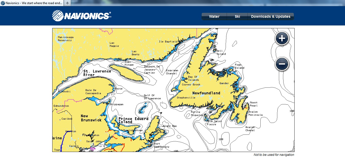
Tobias found a site with on-line marine charts that I thought I'd share with the wider community. It doesn't seem to give the same level of detail is given as paper charts.

For example, it doesn't give the frequency of the light at Cape Spear so therefore, probably not the others either. It doesn't seem to show rocks, current info and such but does show water depth. Is it useful? Yes, I think so but then again I prefer to use topo maps as opposed to marine charts. Each to their own. I don't complain when its free and if I thought I needed more detail I'd go buy the paper chart.
The interesting thing is that it also covers a wide area, including the British Isles. Anyway, here is the link .


No comments:
Post a Comment