Translate

Showing posts with label Bauline. Show all posts

Sunday, October 5, 2014

Tracing the Topsail fault to Bauline


The Topsail fault is a prominent feature along the east side of Conception Bay.  It separates Harbour Main volcanic rocks from Cambrian and Ordovician age rocks, where discernible, that is, not under water.  All long the east side of the fault the hills rise vertically from the sea so much so that we are in shade at Portugal Cove as we ready to put in.


Once out on the water and out of the shadow of the bald hill overlooking the cove our foursome of Dean, Hazen, Lev and myself were in brilliant sunshine.


Soon we are under the hills again and the early sun hasn't had time to creep high enough in the sky to win the battle over shade.

The rocks along here are the oldest on the Avalon Peninsula dating from the Paleoproterozoic, that is, older than 1.5 billion, with a capital B, years old.


An hour later we were at Brocks Pond falls where the outflow of Brocks Pond tumbles over the 100 meter cliffs.  The sun slowly crept into the sky and I had to shield the camera lens from the sun with my cap, oops just visible.


To the west lay the Ordovician rocks of Bell Island isolated from everything else.


It seemed the closer we got to Bauline the more imposing the cliffs got.  The cliff highlighted by the sun rose a further 100 meters above the prevailing landscape to reach 200 meters.


Two hours later and 12 kilometers on we reached the community of Bauline clinging on to a notch in the long march of cliffs.


We stopped for a bite to eat in Bauline.  While we had lunch a van full of tourists arrived in the harbour.  They were lucky with the weather for Bauline would not look so quaint in rain and fog.  It would look more like the land god gave to Cain.

Finished our lunch I had the feeling our foursome was more of a draw than the scenery as we left the harbour to return to Portugal Cove.

Thanks guys for a most enjoyable day on the water.

Here's a link to Dean's blog for his take on the day.

Sunday, August 24, 2014

Three Nordkapps around Cape St. Francis


The paddle today was a rounding of Cape St Francis.  Capes are always fun; this one is interesting because north of the cape is nothing but open water to Greenland.  Therefore, best done in an onshore wind *lol*.

Dean, Des and I met at Bauline to set up the car shuttle to Pouch Cove (pronounced "pooch").  From there we'd paddle north the seven kms to the cape and then south back to Bauline.

We arrived in Pouch Cove.  We had to use the new slipway which, if a person was afraid of heights, would not be a lot of fun.  The angle was all of 45 degrees.


Dean and Des seal launched.  Dean was ready with camera in case I flubbed it and flipped.  Regretfully, I could not amuse him and did an elegant seal launch myself.

The Ocean Wave Model indicated 1 - 2 meter swell.  As it reached near shore I expected it would kick up a bit.  Wind was northerly but barely perceptible so there were no wind waves.  We were not disappointed as we were met with regular 2 meter waves, the larger topping in at almost three.


We were cruising along picking through the swell and the clapotis and in short order we were are Biscayne Cove Islands.  There is a shallow between the islands and the coast but it did not cause problems today so we passed between them.

Funny how a desire to stay upright results in a skewed picture but still only 5 degrees tilted.


Seven kilometers on we were at the cape.  Swell that was on our fore starboard quarter paddling north was expected to be on our beam as we paddled across the headland but as we turned it came from astern giving us a nice push.

Conditions dictated we stay offshore.  The seven kilometers from Pouch Cove is what I call open ocean paddling.


After rounding the cape we were heading west across Cripple Cove.  Ahead, Dean and I kept an eye on Cripple Cove Rocks.  Between it and the headland the water burst upwards in millions of aerated drops of water.  We went around, sadly without pictorial evidence of the conditions.


I came as close as I dared teasing the waves and staying just out of reach.


We were around the cape and into the placid waters of Conception Bay.  There was still some minor swell but nothing like the confused state coming out of Pouch Cove.


Looking south down the cliffs of the volcanic rocks of the Harbour Main Group.  This would be the view for the next 10 kilometers until we reached Bauline.


By passing a chance for a shower.


Dean and I paddled along shore whereas Des paddled well offshore.  Difficult to see but he is there, just a speck on the horizon.

Paddling in a straight line offshore is exercise for me.  Near shore with the sights and sounds of the land - water interface is what I prefer.


Dean got out in this little cove to answer the call of nature.  I had my back to him when I heard  him call out and turned to see his kayak drifting away.  I retrieved it for him but afterwards thought maybe I should have had salvage rights to a boat floating abandoned at sea?  Ah, but I can only use one Nordkapp at a time.


The sun threatened to come out behind us but ahead it was still ominous looking.  As it turned out the sun came out as we came around the far point and ...


... paddled into Bauline harbour.

It was a nice piece of work today at 18 kilometers that felt longer due to, in the first instance, the confused sea state coming out of Pouch Cove and secondly, we had no opportunity to get out to stretch our legs.  Three hours straight made three stiff paddlers taking out in Bauline.

We completed the car shuttle and pick-up.  Dean and I went for coffee.  Here are the breadcrumbs:


Sunday, May 1, 2011

Around the Cape

The track

Yesterday we had a paddle around Cape St. Francis on the menu. Its an exposed cape. The next stop north of here is Cape Farewell, Greenland 1,500 kms away.

Eight of us met at Bauline on the east side of Conception Bay and then shuttled some cars to Pouch Cove (pronounced "pooch" surprisingly) where we would be taking out. Stan and I did this paddle in the opposite direction on November 11, 2008 - how time flies. For the others it was their first time.

Leaving Bauline

It was fairly clear as we left Bauline but it would turn out to be a mixed bag weather wise on the day. Rain and fog would predominate but the sun did make an appearance briefly.

Striking cliffs

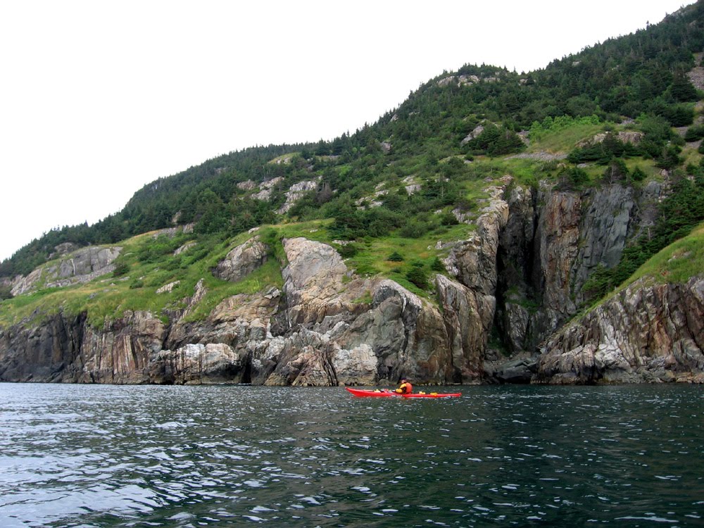
The cliffs north of Bauline (and extending south to Portugal Cove) loom overhead. The Topsail fault strikes through here; the cliffs to our right plunge straight into the sea.

Gimme shelter

At times the heavens opened up and it poured. At one point we were close to this cave as some of the guys took refuge. It rained so hard that the raindrops were bouncing up on the sea surface.

Waterfalls

The snowmelt is well under way as winter makes room for spring. It coupled with the rain that was falling meant we had numerous waterfalls on our paddle. This one was just before we reached the top of the peninsula.

Things got interesting

As the line of cliffs gave way, they continued on under water making for a spot to play in the swell breaking over the rocks.

Into Cripple Cove

Cripple Cove sits at the top of the peninsula guarded by a large rock at the mouth of the cove. Nonetheless, its not much protection from the almost unlimited fetch from the north. As a result the cove lacked a beach.

Rounding the Cape

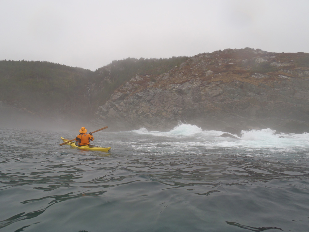
The Cape was shrouded in fog. We were welcomed by the foghorn which was in good form as it boomed out its message of warning.

Rocky take-out

Just southeast of the Cape we took out in Biscayne Cove where we stopped for lunch. Half of us here and the other half on the other side of the run down wharf. Neither spot was ideal but these guys probably got the better deal for landing and relaunching, as much as I hate to admit it. We jokingly accused them of being anti-social.

In a fog

Paddling in fog has its charms.

Crash and bang

The sea on the Conception Bay side was calm but after rounding the Cape it was more active. It wasn't a steep swell, just broad and where the water got shallow it piled up and crashed against the cliffs. The aerated water accentuating the smell of the sea added to the ambiance.

Cleaved open

Coming into Pouch Cove we spotted this deep cleft in the cliffs that must have been 75 meters long. There was lots of room for everyone. Our day was almost over.

Traffic jamb

Arriving at the slipway in Pouch Cove we lined up to take-out. The water was low and had the slipway was very slippery so we helped each other land. A carry up the steep slipway to the cars we had shuttled taxed our lungs as we stood about huffing and puffing.

A first time around the Cape for most for a total of 21.5 kms. To sum up the day, what can I say - pinch me!

Sunday, August 22, 2010

Windy day paddle

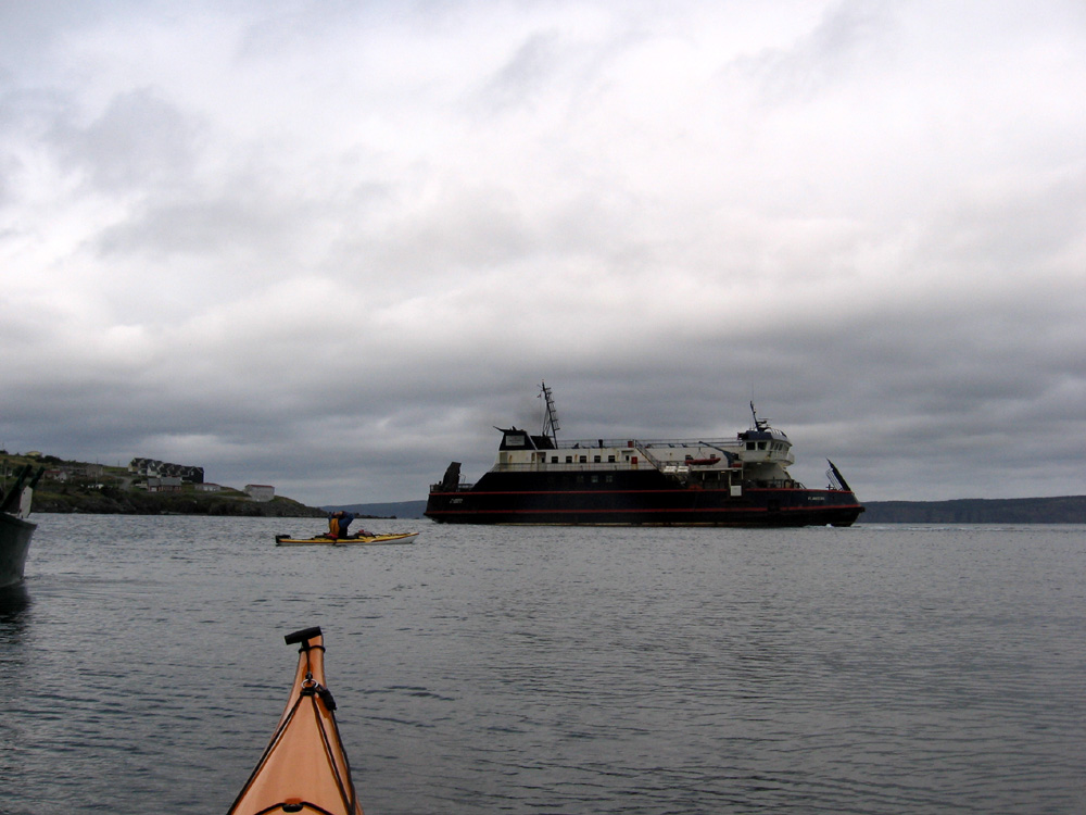
Boats departing

The wind forecast for Saturday was east 20 knots. Get out the maps. We settled on a paddle from Portugal Cove to Bauline along a line of cliffs on the west side of Conception Bay. There we would be sheltered from the winds and we were for the most part. Bauline lay 11.5 kms north as we set out the same time as the ferry left for Bell Island.

A carpet of green

Some nice shades and tones of green contrast against the earthy hues of the rocks. The grass and stunted fir and spruce trees looked to me like a ragged carpet with holes in it draped over the bedrock.

The gulls scatter

The gulls resting on the rocks decided to scatter as Paul approaches. The sea kayak is a non-invasive craft but I find no matter how far or how close I get to seagulls, they rarely trust me and take to flight.

A crack in the wall

A crack in the wall of cliffs always attracts Clyde's attention.

At the falls

About an hour after leaving Portugal Cove we came to Brocks Head falls. These falls are always a fine sight as the water spills over the 200 foot tall cliffs. The falls are fed by Brocks Pond on the plateau of land above.

Sheltering cliffs

Continuing in a northerly direction to Bauline the cliffs are an imposing sight and on this day our sheltering friends.

The wind was blowing from the east (to the right) but we were well protected here. Not much further and conditions changed past Ore Head in the distance. We completed the last 4 kms into Bauline into 16 - 18 knot winds working up an appetite for lunch.

Lunch stop Bauline

The sun came full out and felt warm on our backs as we sat on the slipway in Bauline to have lunch. A couple of local characters came down to talk to us. There was the usual discussion on the seaworthiness of the kayak as the locals looked out on the waters outside the harbour and the whitecaps. It'll be rough at Gull Rocks on the way back one said.

We finished our lunch and surfed back the Portugal Cove for a total distance of 23 kms.

Sunday, April 18, 2010

Gimme shelter

Here comes Stan

The forecast called for winds from the east gusting to 40 kms. There are not a lot of paddling destinations to pick from then but the east shore of Conception Bay is a good choice when looking for protection. We settled on a paddle of 10 kms from Bauline north towards Cape St. Francis with the hope of being able to paddle into Cripple Cove for lunch and then return.

Its not a terribly attractive paddle as the entire coast forms a line of massive cliffs. Not attractive but sheltered, so it fit the bill for the day.

Fog hung like a veil over the tops of the cliffs

To our right, on the other side of the peninsula is the north Atlantic where the wind was blowing the fog easterly over the land. It would not have been a good day over there to be for sure.

The fog made it a gray day but our spirits weren't dampened. 10 kms on we came upon Cripple Cove Rocks at the end of the line of cliffs. We looked anxiously at the agitated water ahead and decided the conditions weren't right to paddle around so we turned to paddle back.

Waterfalls

We've had a fair amount of rain recently and the ponds at the top of the hills were overflowing as waterfalls at a few places along the shore. To be honest, they were the only interesting break in a monotonous line of cliffs.

Bauline is down there somewhere

When the coast ahead looks like one wall of cliffs its hard to see exactly where the community of Bauline is. Its hard to believe that people found a place along here to actually build a community.

Just inside the tip of the darker cliffs in the distance is where Bauline is located. We took out and were asked where we had been by fishermen busy getting crab pots ready to catch crab. One joked that had he known he would have asked us to take a few pots out for him.

20 kms, 3.5 hours in the boats, a good day's paddle.

Saturday, August 22, 2009

Beating Bill

Headed towards Cape St. Francis

Hurricane Bill was busy churning in the Atlantic in the area of Bermuda today and forecast to hit Newfoundland Sunday night Monday morning. It'll be downgraded to a tropical storm by the time it hits us but it'll still be too windy to paddle, maybe for a couple of days.

We decided to beat Bill to the punch and just get out on the water. There was no set plan. We put-in in Bauline and headed north towards Cape St. Francis for a while and then decided to turn around and paddle south in case the forecasted wind kicked up, which it did. A paddle back to the put-in then would be in following seas.

We saw a minke whale, the spout of a suspected fin whale, a huge sunfish and a couple of eagles.

Gimme shelter

After turning back short of Cape St. Francis we paddled past Bauline, where we put in, and on towards Portugal Cove. The wind came up so we nicked into a few sheltered spots for a break. It wasn't a heavy wind but the respite was still welcomed.

Brian checks out a cleft in the rocks

The rocks along the east side of Conception Bay north of St. Philips are known as the Harbour Main volcanics. They form massive cliffs and are the oldest rocks on the Avalon Peninsula. They were formed in a volcanic archipelago something like those in the current ring of fire in the Pacific.

Because they are so massive, there are no caves or beaches along this shore. Here a likely fault has weakened the rock where the sea has worn a cleft in the cliffs.

Cleanliness is next to godliness

Derrick getting a shower of fresh water. It was warm today 25 C and 30 with the humidex. A chance to cool off in the fresh water was a treat.

At the falls

Last fall Stan and I paddled north from St. Philips and Portugal Cove. We turned back at these falls at Big Freshwater Cove. Today we paddled south from Bauline to the falls so I've closed that part of this shore in Conception Bay. Missed ya today Stan.